Products
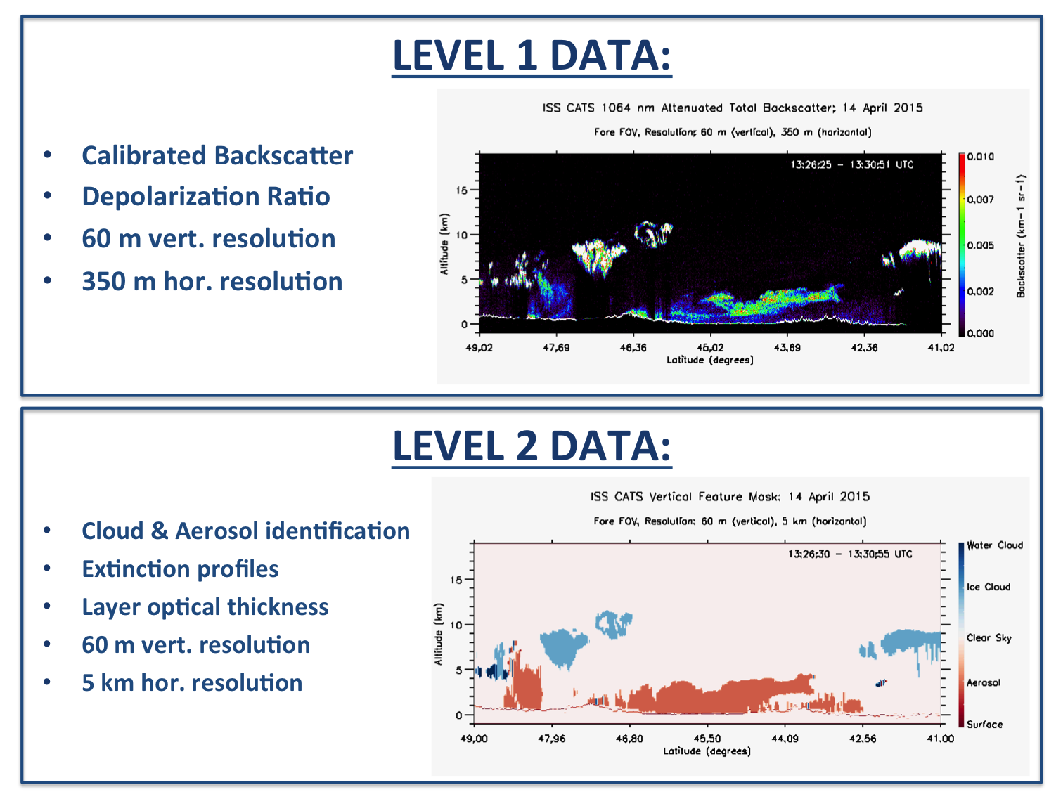
We offer Level 1B and Level 2 products with associated granule summaries. If you'd like to use our data, please read our Data Policy.
CATS Products and Data Ordering
CATS produces Level 1 and Level 2 science data products that are listed in detail in the CATS Data Products Catalog. These products are archived and distributed by the Atmospheric Science Data Center. For more information on CATS data products, please see the CATS Algorithm Theoretical Basis Document. Notes for the current data product release can be found here.

CATS Data Policy
Access to CATS data is not restricted. However, we do ask that data users respect the experiment PIs and others with rights to the data. An offer of co-authorship on any publications, presentation, etc., should be made to the PI and his/her team if images and/or data are used (even if they are freely accessed).